
FireTech Company Directory

INCA
Intelligent fire safety technology - predicts conditions that cause fire, prevents a fire happening, protects valuables from fire
Learn More
Salo Sciences
Developing solutions to climate change and biodiversity loss by using AI, data and analytics
Learn More

Overstory
Real-time vegetation intelligence, at scale. We analyze all vegetation on Earth to prevent wildfires and power outages, enabling smarter infrastructure management and safer communities
Learn More
Quiron
Artificial intelligence through satellite data - fighting forest threats around the world
Learn More
Technosylva
Advanced GIS-enabled software for wildfire protection planning, operational response & firefighter and public safety
Learn More
Pegasus
Our autonomous aircrafts collect large amounts of aerial imagery and fuse with edge-AI to enable real-time data and analytics for decision makers
Learn More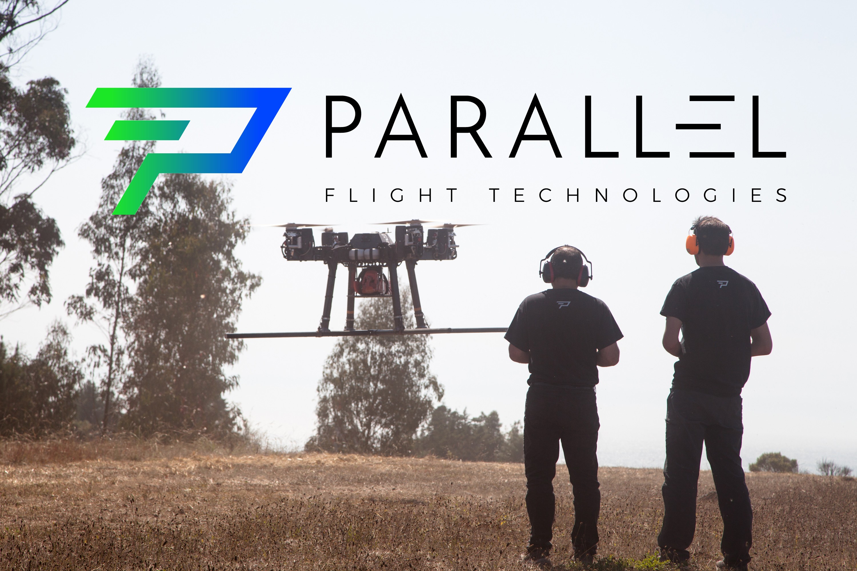
Parallel Flight Technologies
Heavy-lift drones: unmanned Systems to Save Lives, Property, and the Environment
Learn MoreZonehaven
A collaboration platform providing a reliable source of critical evacuation intelligence before, during, and after an emergency
Learn More
Pano
Ultra high-definition, 360° Pano Cam networks, automated AI assisted fire threat detection and a unified fire monitoring system for intelligent confirmation and rapid dissemination of critical information
Learn More

Forest Capsule | NetOP Technology Group of IOT Companies
Early fire detection and ecological data collection sensors and IOT solutions
Learn More
Working on Fire
Integrated fire management services for private and government sectors - experienced professional personnel, equipment and vehicles
Learn More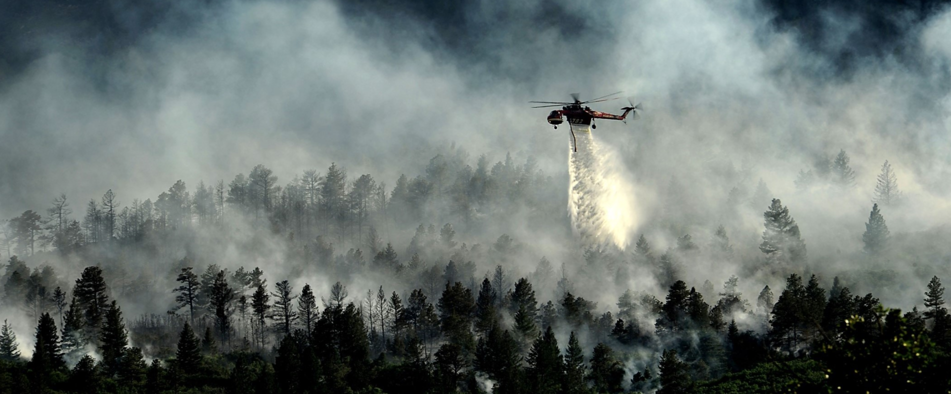
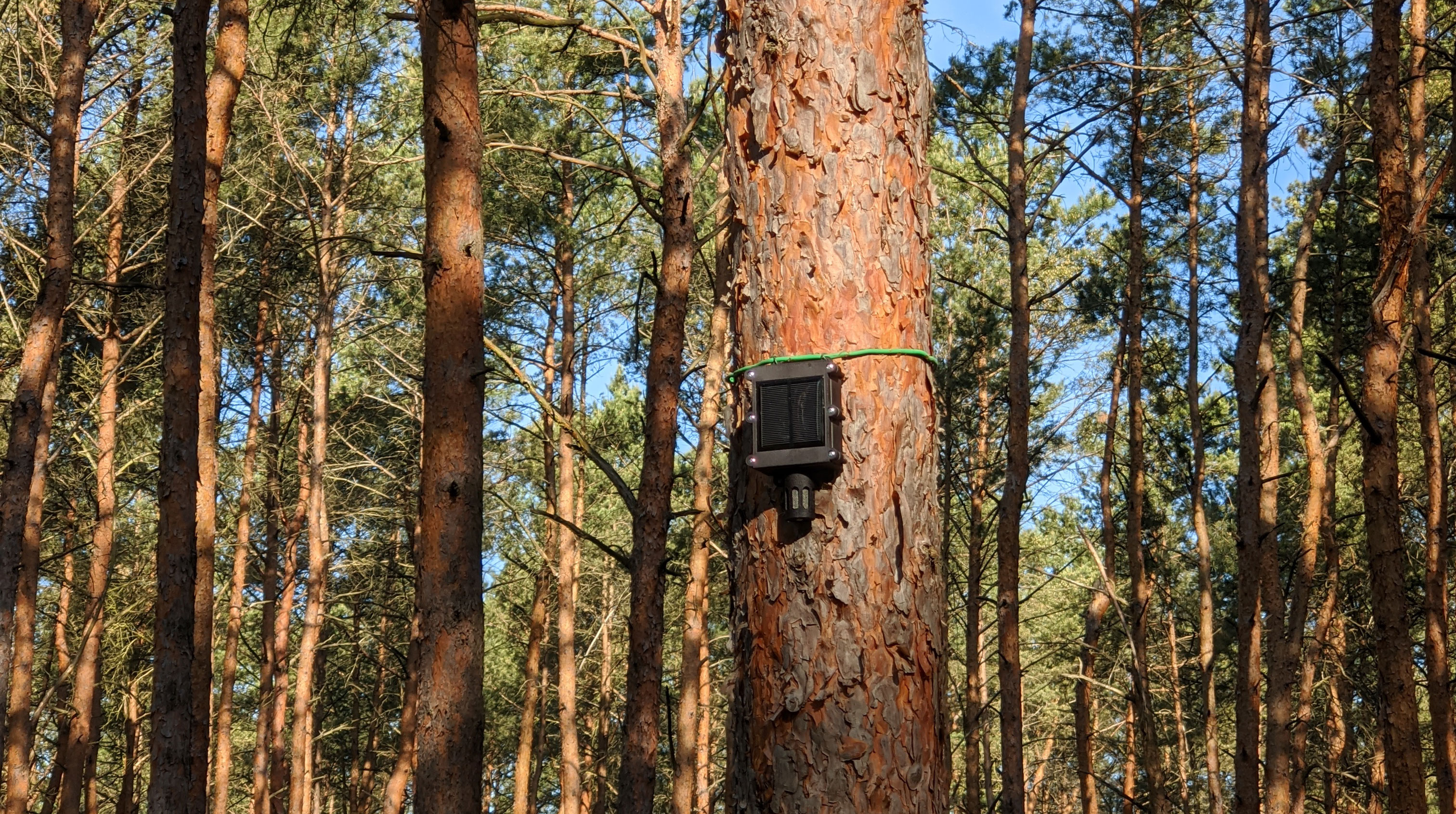
Dryad
Using Dryad's large-scale IOT network, sensors can detect wildfires and provide valuable insights into the micro climate and growth of forests
Learn More
Transmit Security
Digital identity solutions that are truly agile, instant, flexible and user-friendly
Learn More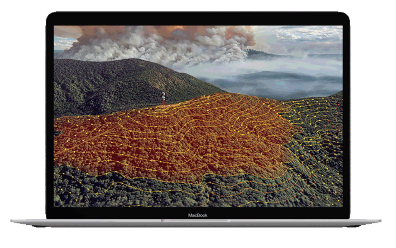
RedEye
RedEye Bushfire Management Platform and BurnSafe application focuses on a time-centric approach to bushfire risk mitigation and management steps for Prevention, Preparedness, Response and Recovery
Learn More
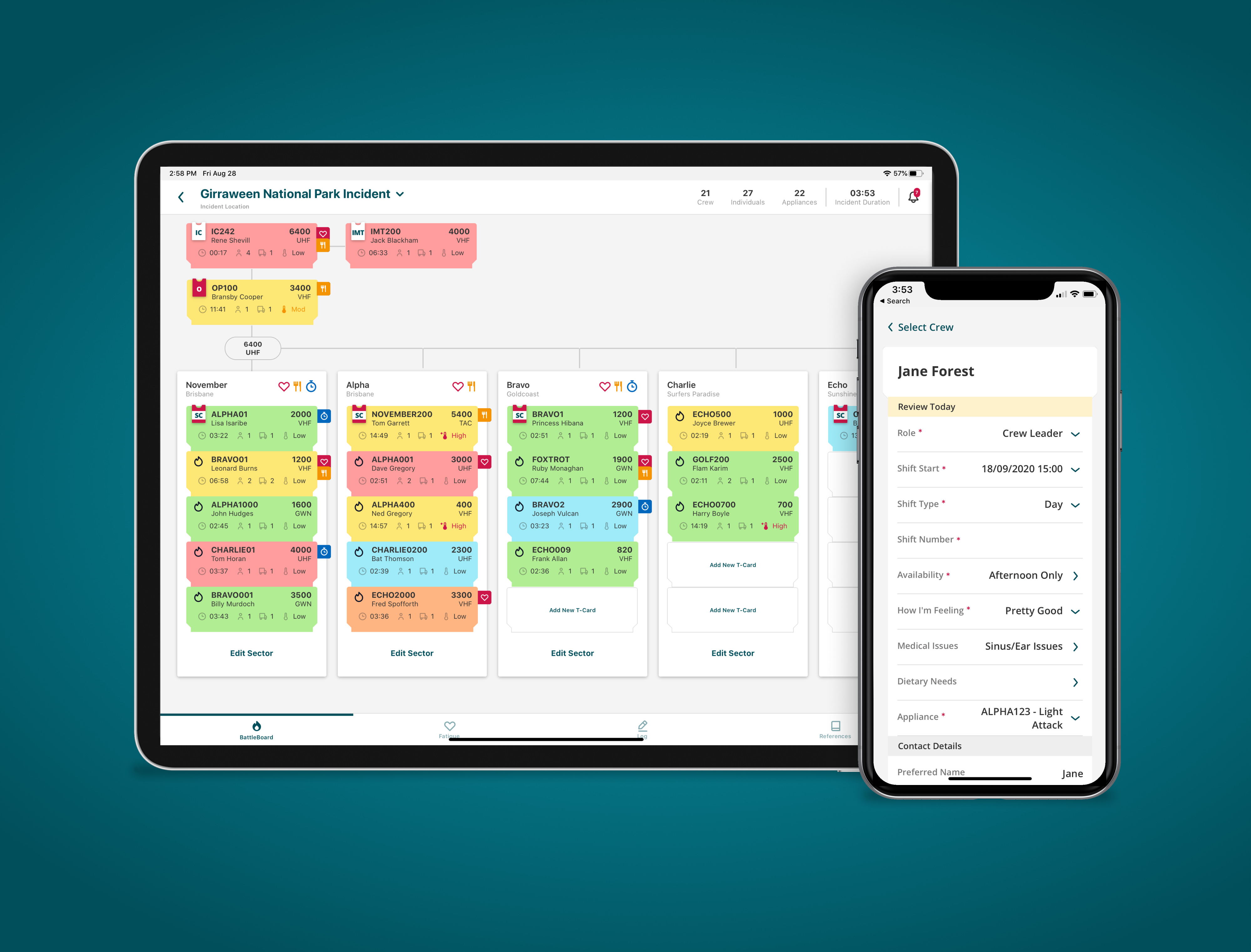
HEROIQ
A paperless Incident Management Board and T-Card app designed to work entirely offline. Designed to AiiMS Principles, HEROIQ provides frontline Incident Controllers visibility into their on-scene resources with a special focus on crews’ health and safety
Learn More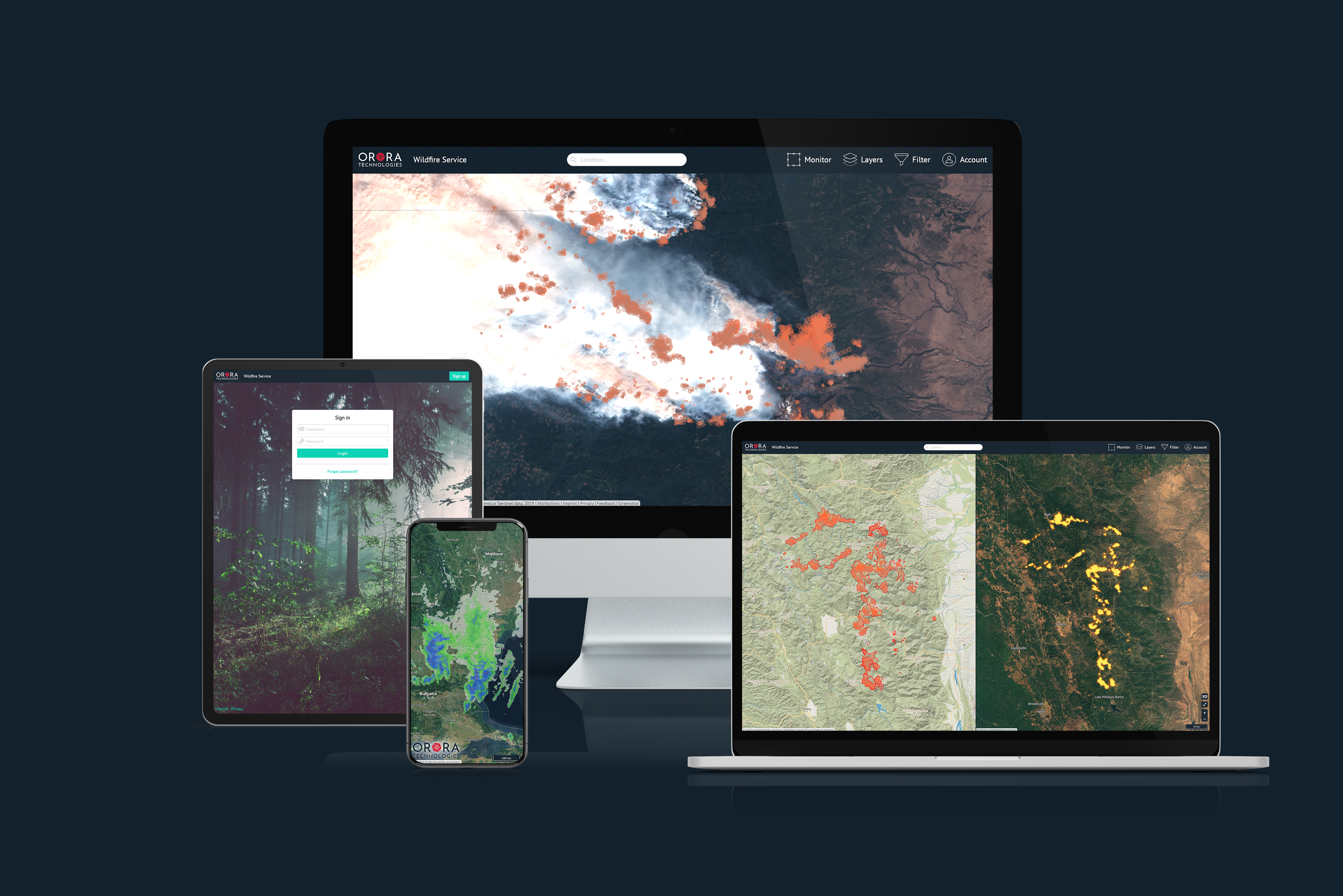
Orora Technologies
Patent-pending technology which delivers high-quality satellite images and real-time information for wildfire detection and mapping, severe weather forecasting, and many other applications
Learn More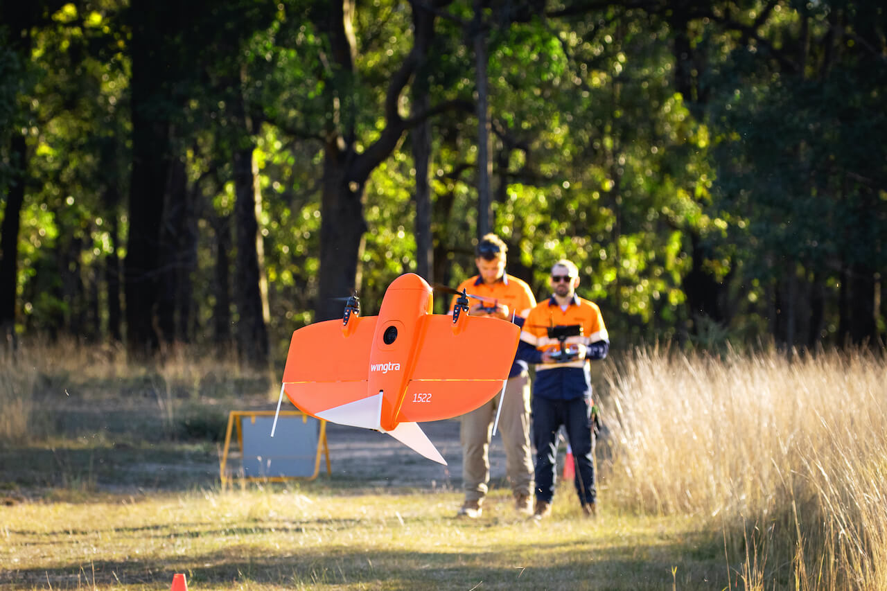
Dendra Systems
We combine research in ecology and land restoration with cutting edge AI and drone technologies to speed up and scale up land rehabilitation
Learn More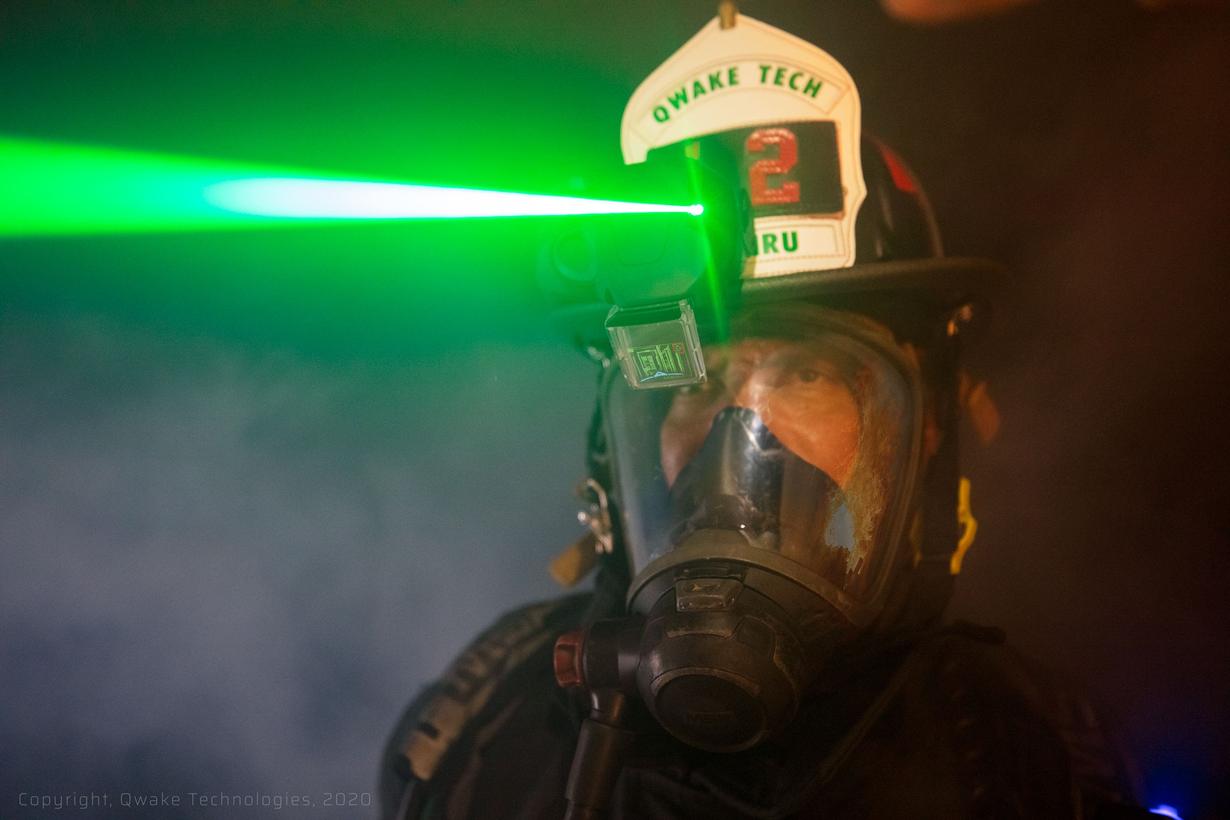
Qwake Technologies
Using computer vision, Qwake Technologies is revolutionizing safety, performance and communications in life-critical environments. Our first product, C-THRU is a next generation augmented reality vision platform purpose-built to save lives
Learn More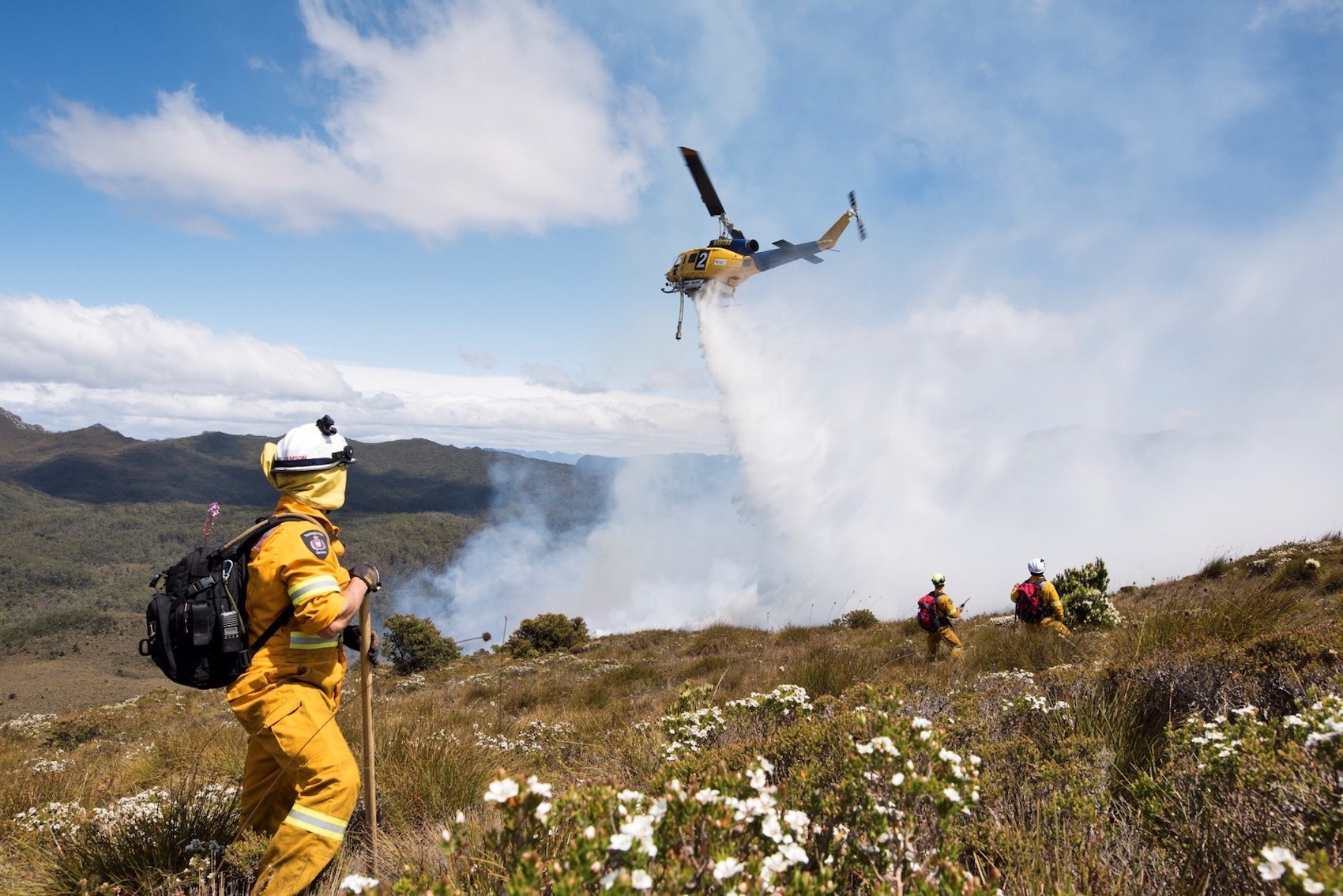
McDermott Aviation
Australia's largest privately owned helicopter company and industry leaders in helicopter lifting services, aerial fire fighting, aerial application, and various emergency applications
Learn More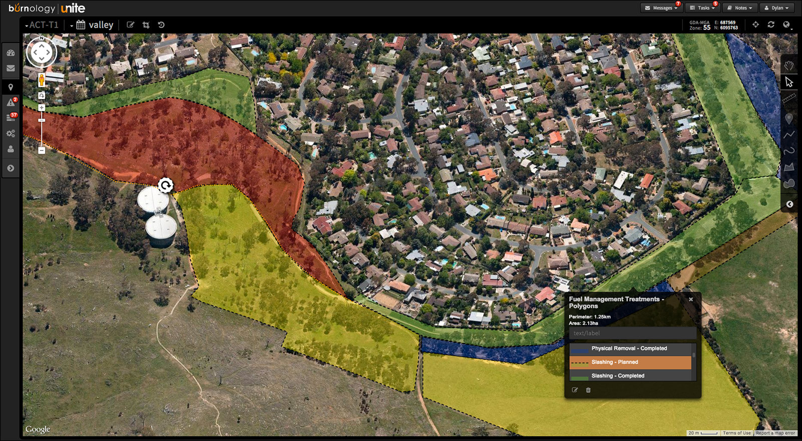
Zirkarta
A platform that can be used to build enterprise systems to enable geographically separated people and teams to collaborate using maps in real-time – with or without internet coverage
Learn More
Houston We Have
Human-centred AI and prescriptive analytics for augmented, intelligent problem solving
Learn More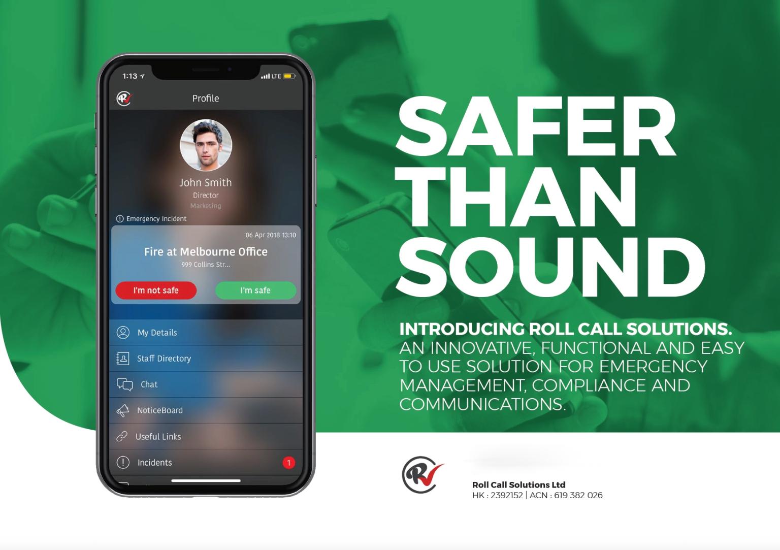
Roll Call Solutions
A mobile platform that combines communications, OH&S and emergency management
Learn More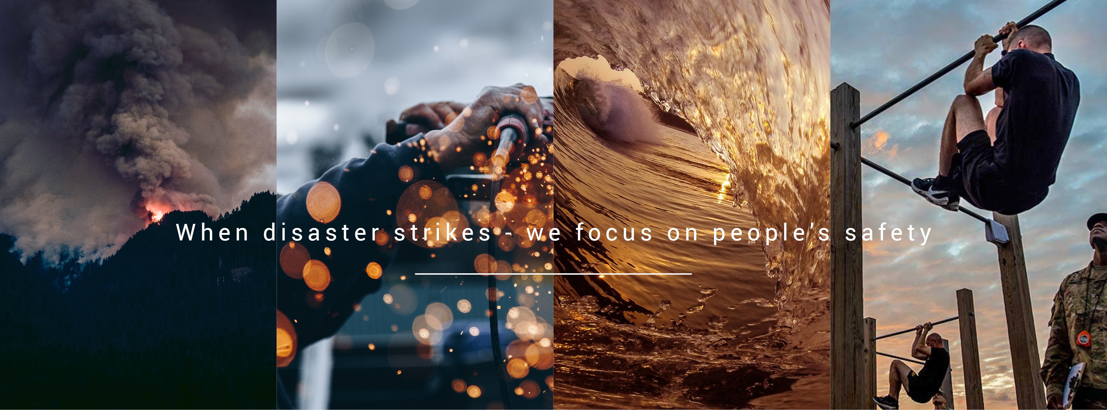
HSS Engineering Warning System Solutions
HSS Engineering develop, manufacture, deliver and maintain tailored warning solutions
Learn More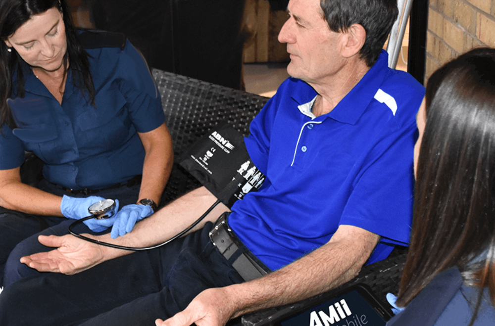
Amii First Responder pre-hospital care
Tablet-based assistant for first responders. Supports best care and automates records, saving time.
Learn More
IOTIQ
IOT (Internet of Things), intelligent software, automation technology and products - which optimise and manage fuel and other liquids
Learn More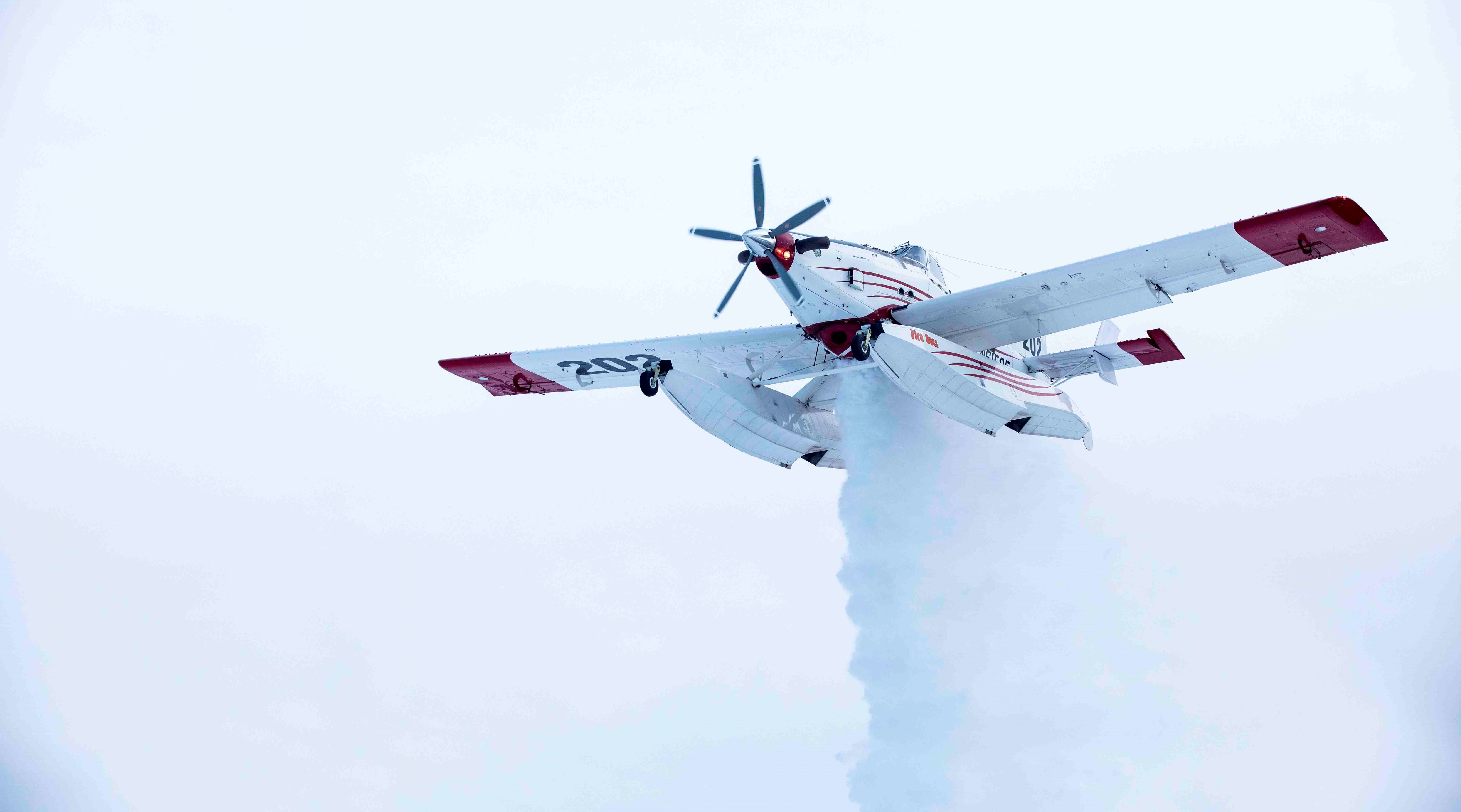
Dauntless Air
An unwavering partner in the air, we work tirelessly alongside ground crews and other aerial forces to win the war against wildfires.
Learn More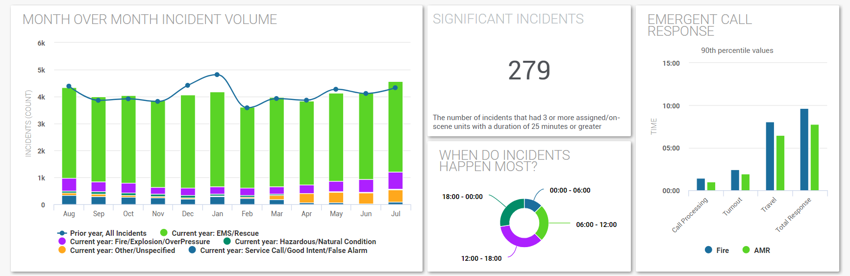
Fire Data Lab
The Fire Data Lab is a non-profit organization dedicated to accelerating the use of data-driven decision making in the fire service.
Learn More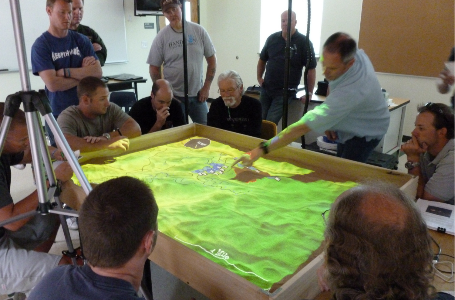
Simtable
3D interactive simulations for the emergency management, wildland fire and STEM markets.
Learn More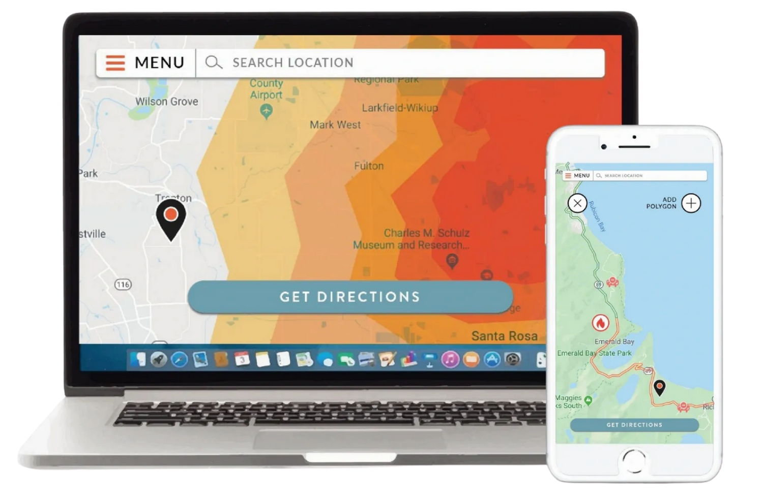
Perimeter
Perimeter is a situational intelligence platform to aid first responders with incidents ranging from natural disasters to the COVID-19 pandemic
Learn More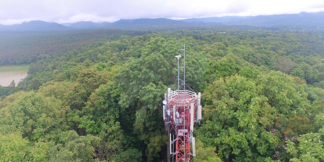
Robotics Cats
AI-powered wildfire detection system designed to save lives and cut loss of lives and assets
Learn More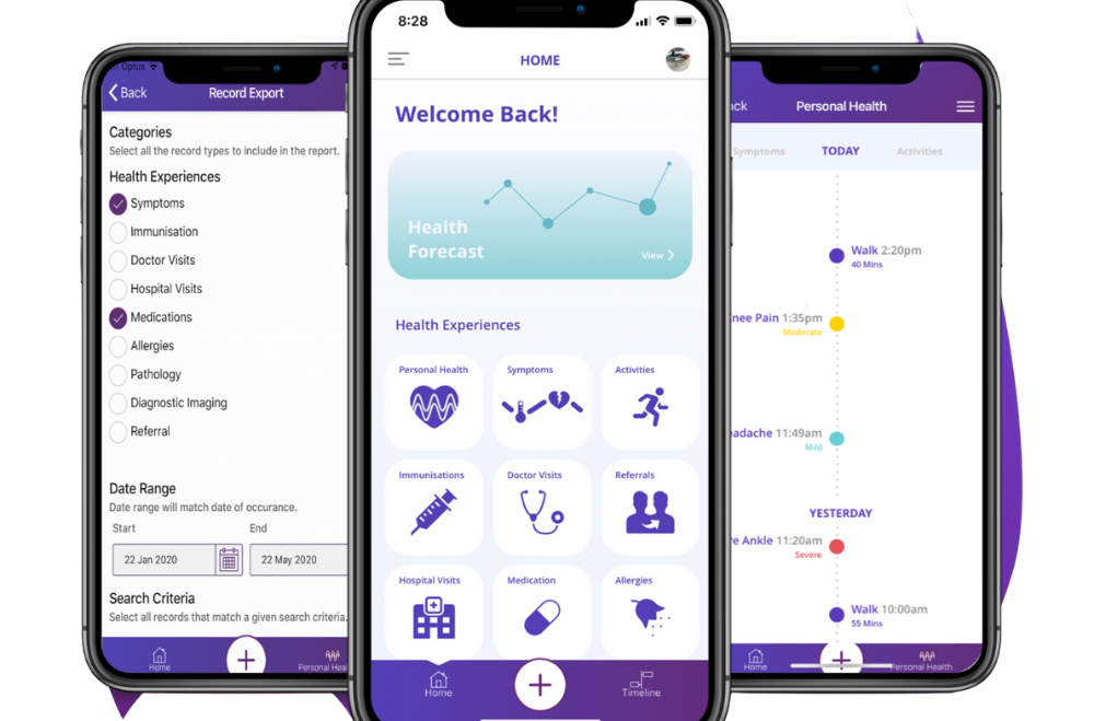
Wanngi
Wanngi enables people to track their symptoms and manage their personal health record in one place; and control who has access to this information.
Learn More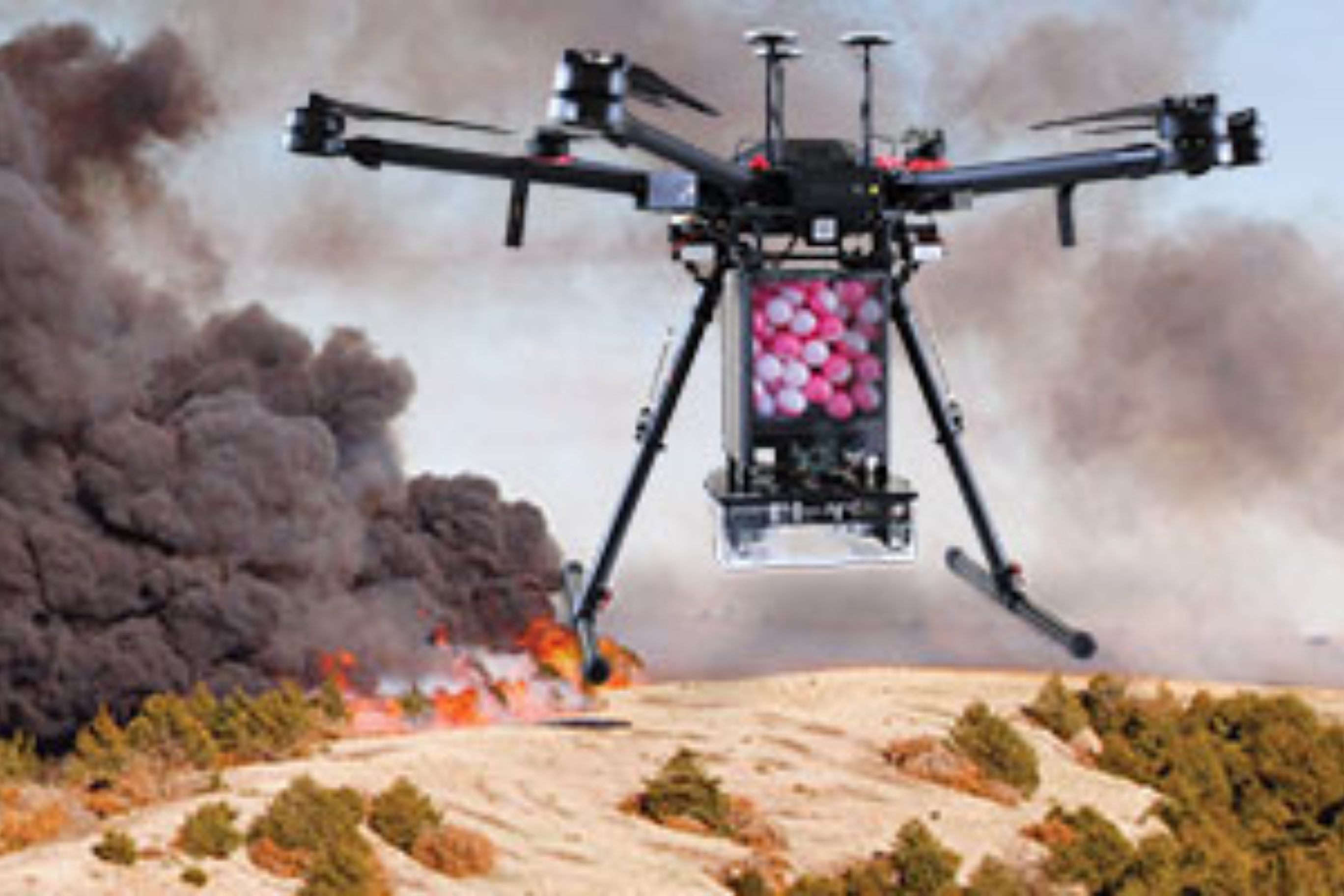
IGNIS
IGNIS by Drone Amplified's technology and custom software is used for igniting prescribed fires using drones.
Learn More
Overwatch Imaging
Imaging systems with custom onboard AI software for both piloted and unmanned aircraft
Learn More
Bushfire.io
Our bushfire map is just the beginning. Our aim is to fuse data to better inform people about natural hazards – whether it be fire, flood or storm.
Learn More
AIIR
AIIR is a comprehensive real-time fire detection solution designed with a human-in-the-loop monitoring and alerting system. Our highly trained fire detection AI looks for smoke and fire.
Learn More
Spiral Blue
Space Edge - an onboard computer for Earth observation satellites that processes images on the satellite as they are collected. We use a mix of sensing techniques and AI.
Learn More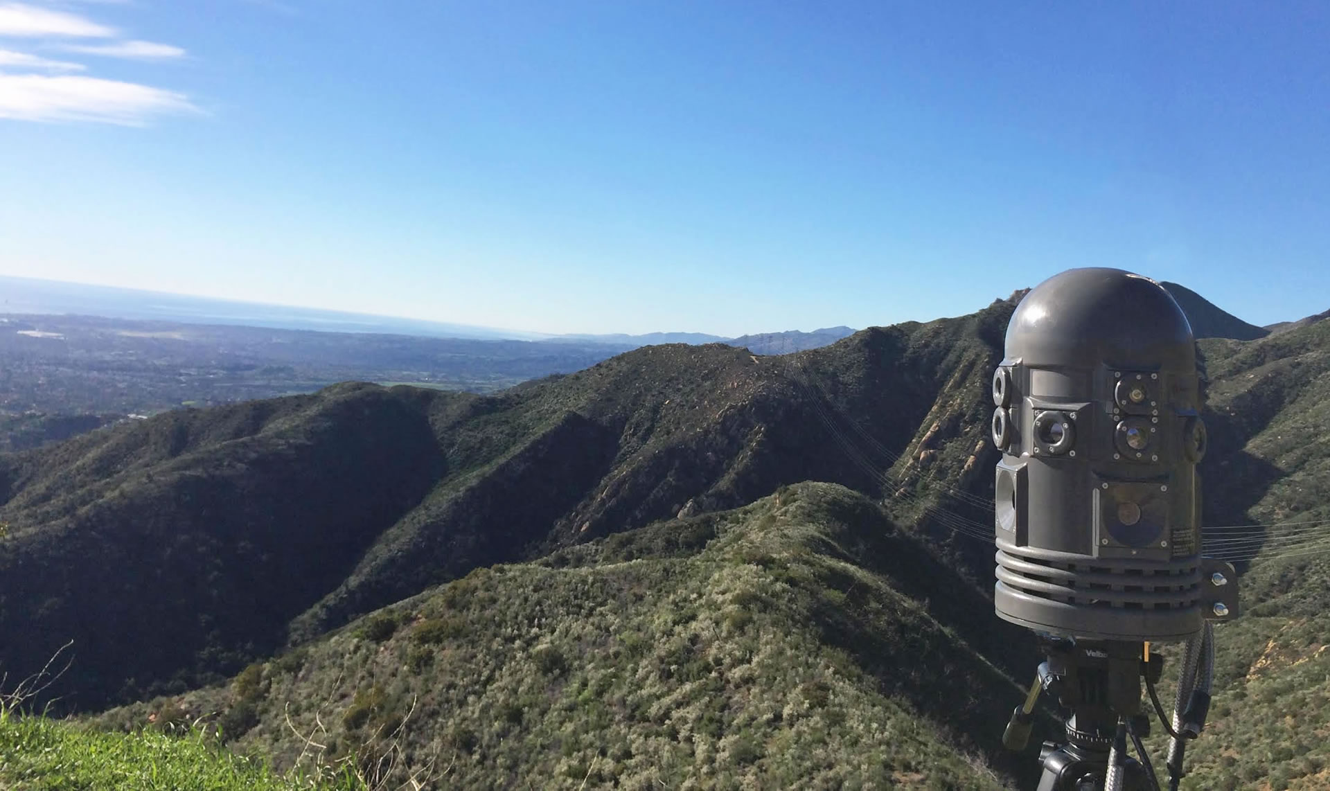
Attentis Technology
Attentis® Smart Sensors instantly detect fire starts from all sources providing immediate alert notification, live localised weather, and images to enable rapid investigation and proportionate response
Learn More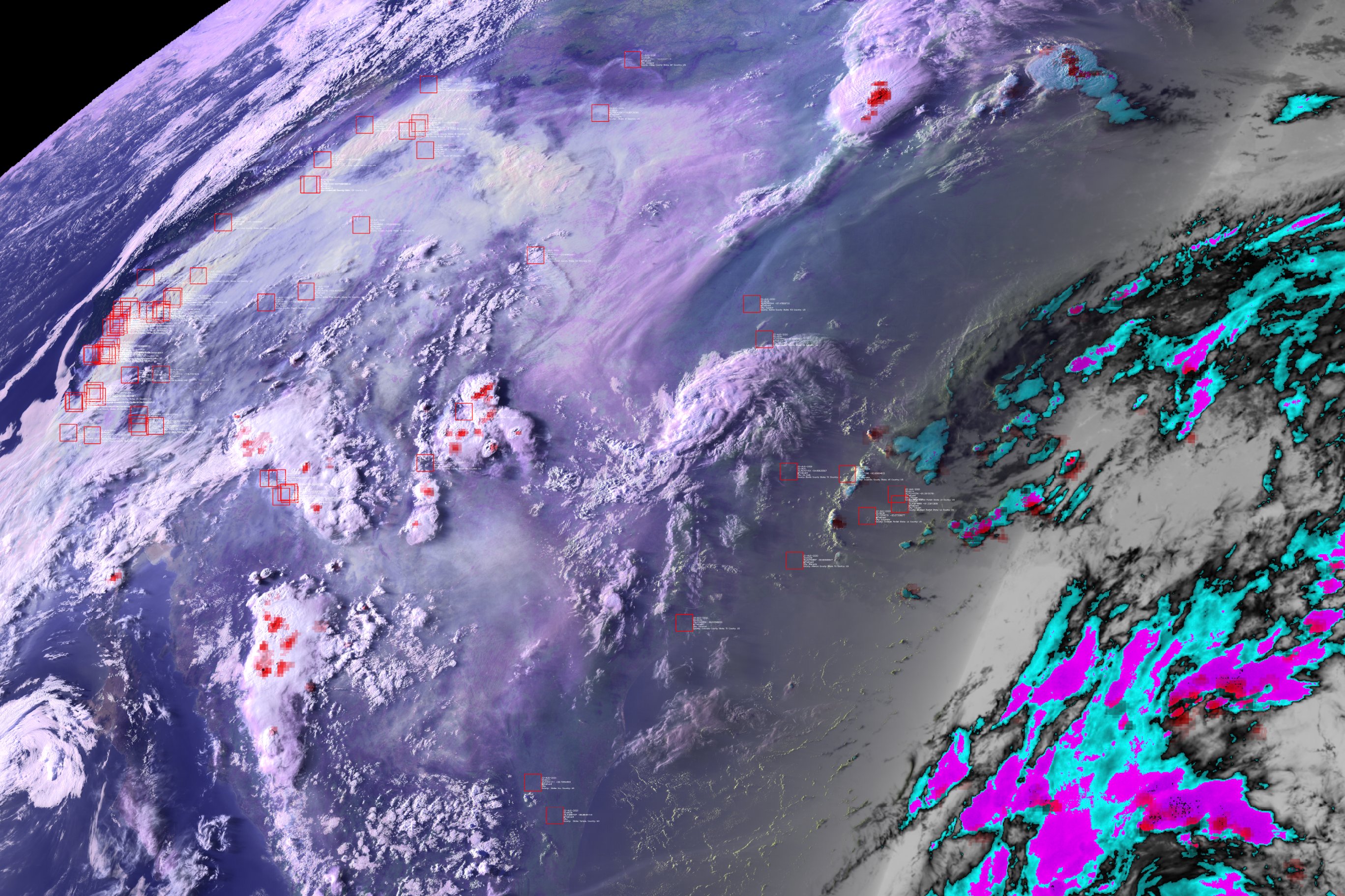
Mayday.ai
Mayday.ai is a centralized and artificial intelligence based platform providing real time and near real time disaster information services.
Learn More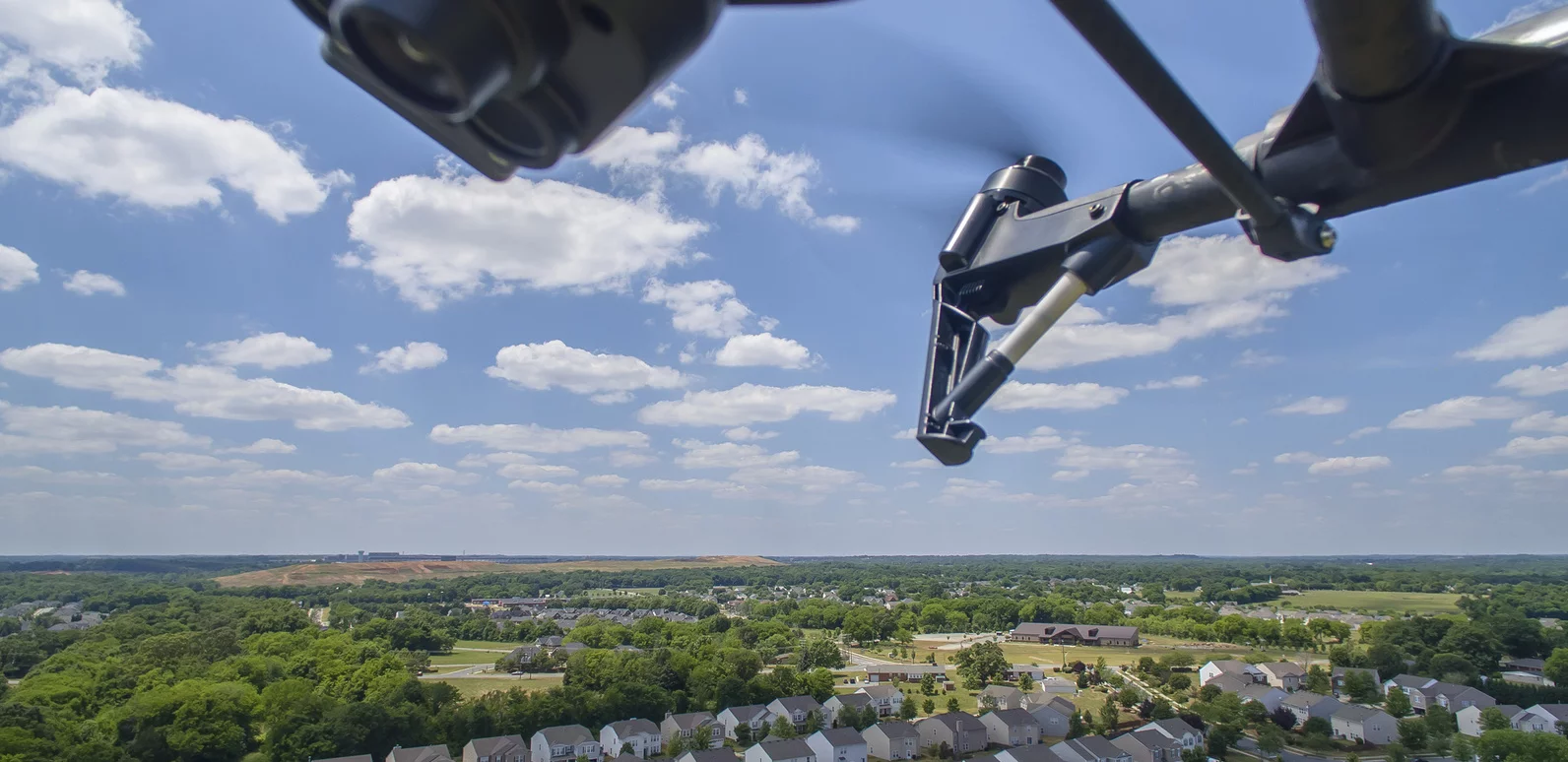
Aethon Aerial Solutions
Aethon Holdings, brings together a seasoned team of industry experts with over 100 years of collective experience in airborne LiDAR and remote sensing for commercial industrial and defence applications.
Learn More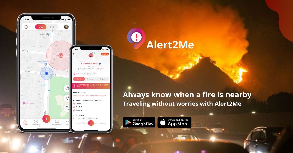
Red Helmet technologies
To be the world’s leading provider of next generation emergency and event management software systems that acts as a key enabler to safer cities and enhances the social capital of communities.
Learn More
Kubbla
Kubbla Navigation Services, through its line of traffic technologies, has a single underlying objective that forms the foundation of the company: Optimize the flow of traffic by minimizing stops at red lights.
Learn More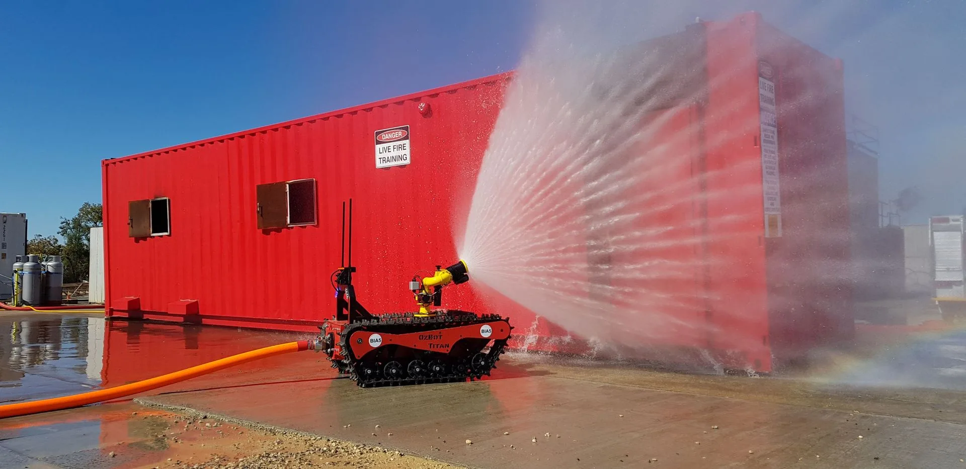
Bia5
Bia5's robotic platform, the Ozbot Titan, removes the risk to fire fighting personnel while maintaining the ability to fight and inspect fires.
Learn More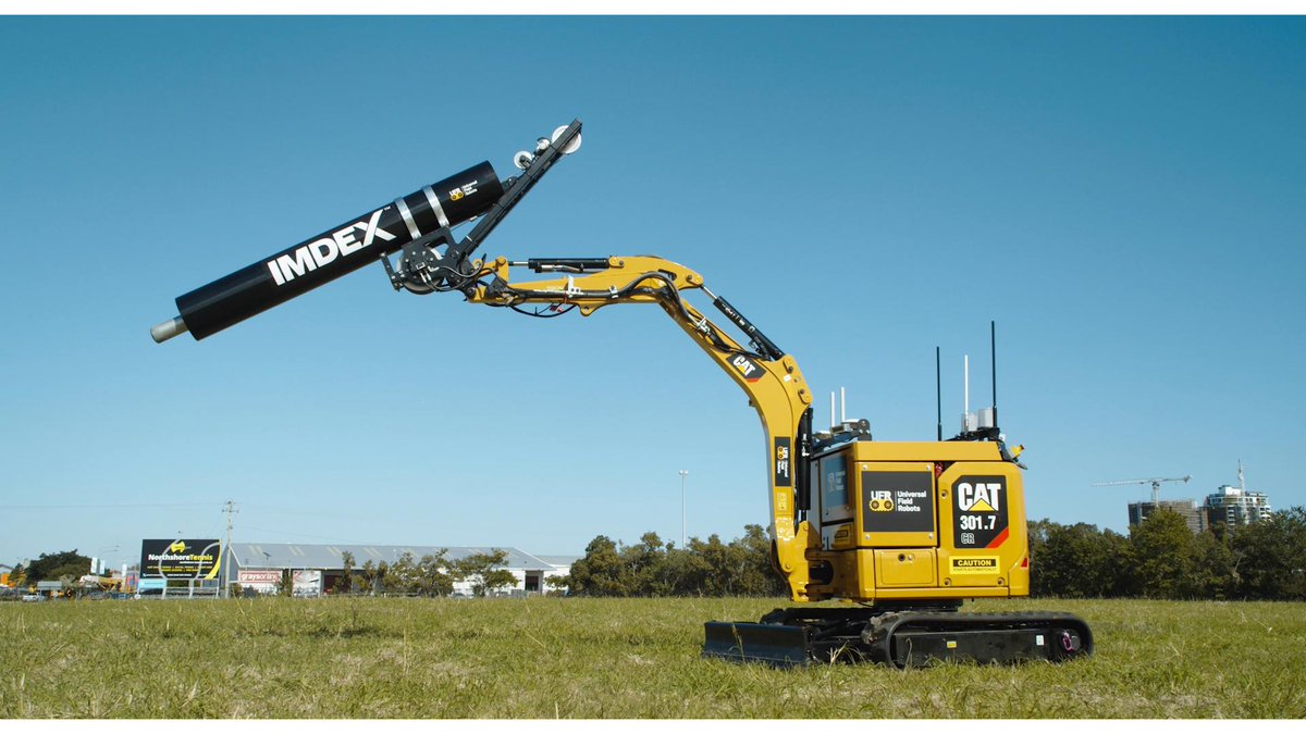
Universal Field Robots
Universal Field Robots develops autonomous field robots with firefighting capabilities by extending and enhancing existing vehicle platforms.
Learn More
FireFlight
FireFlight's fire mapping software provides real time active fire data as maps, and post fire hotspot maps to fire managers, fire agencies.
Learn More
Wise Networking
We are developing miniature communication phone tower that can be air-deployed into a disaster area to restore cell phone coverage within hours.
Learn More
Intterra Group
Now you can have a centralized, visual picture of your resources, the fireline, your preplans, and more, all in near real-time no matter where you are
Learn MoreVideotranslator.ai
Real Time AI Transcription, Translation and Hard Coded Captions for emergency service communications
Learn More
Flaim Systems
FLAIM Trainer™ provides firefighters the capacity to train situations and scenarios
Learn More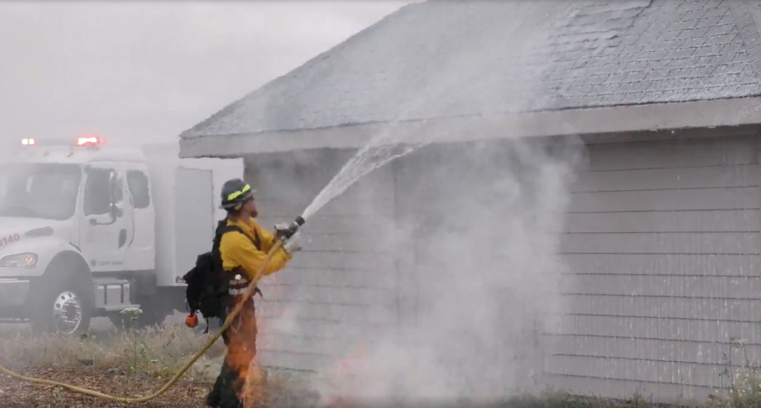
Atira Systems
ATIRA Systems® has created a disruptive, 100% non-toxic, water enhancing fire-block gel that allows fire agencies to do more with less
Learn More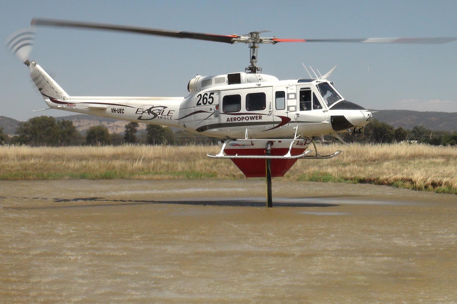
Helitak
Helitak is a Rotary Aerial Fire Fighting specialist, aerial firefighting design and manufacturing company
Learn More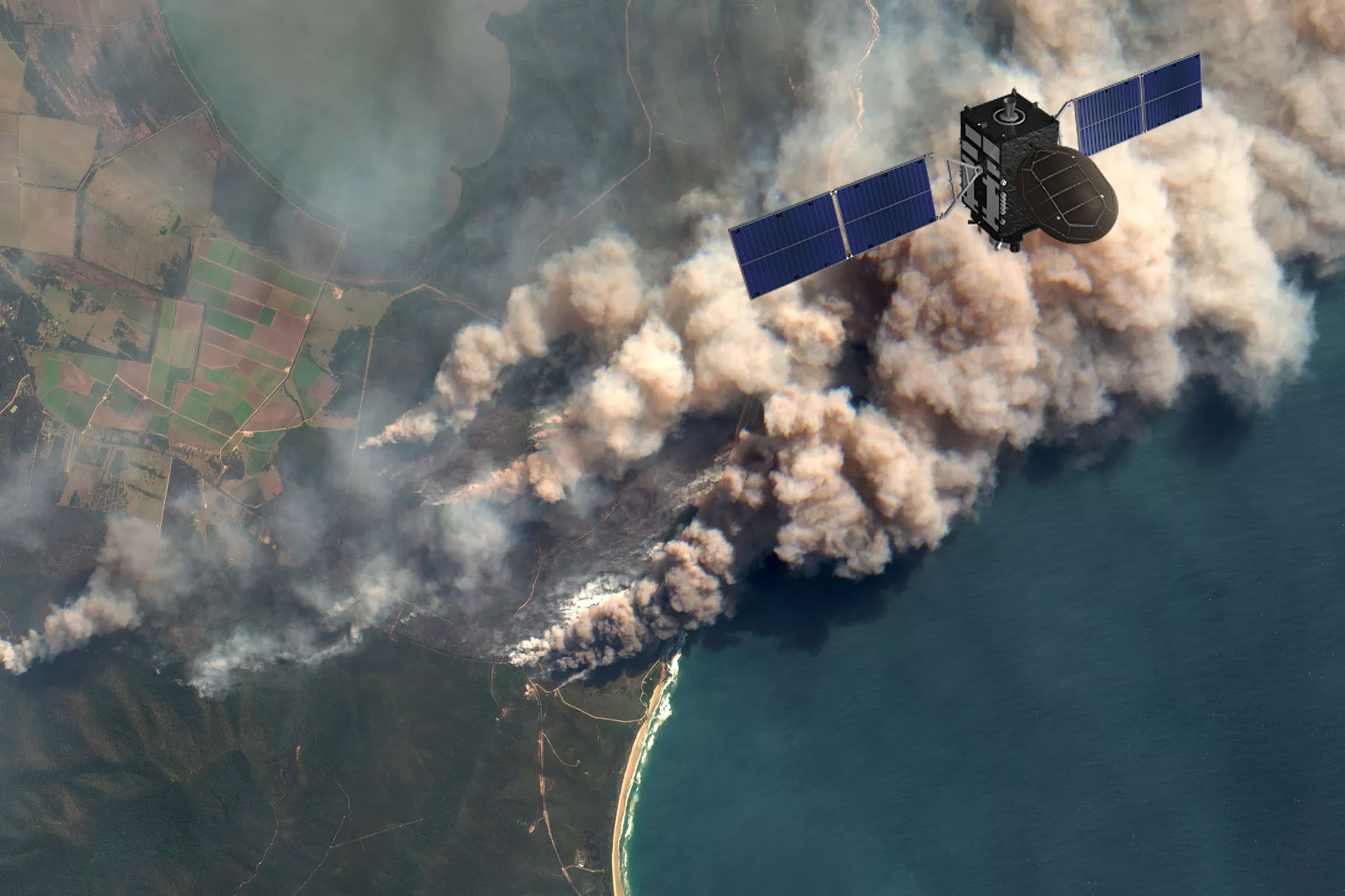
Fireball International
Fireball’s system detects fire as early as three minutes after ignition, allowing for rapid, effective fire suppression and safe, orderly evacuation.
Learn More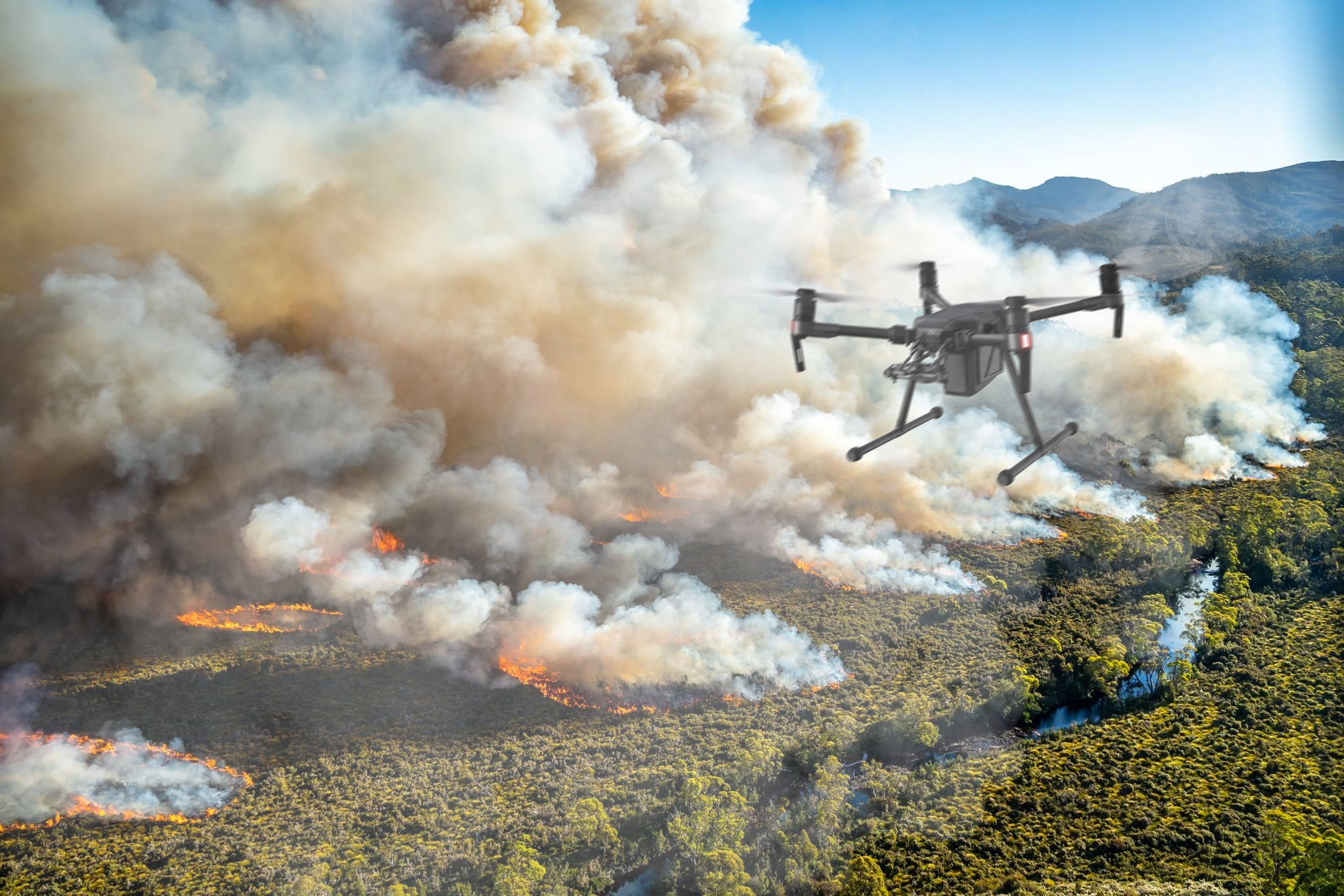
Skyebrowse
Skybrowse was founded to save first responders time when responding to an emergency, thus reducing the overall amount of deaths.
Learn More