Bushfire.io
Bushfire.io
Bushfire.io began as a website thrown together at the height of Australia’s worst ever bushfire season in 2019-20.
At the height of the crisis, we noticed people were having difficulty accessing the information they needed to make critical decisions for themselves, their families and their businesses.
The best information at the time showed if a fire was in the area, but which way was the weather pushing it? What roads were closed? And what if you needed to know what was happening in another state or territory? Even fire fighters struggled with a complete picture of this essential information.
Our goal is simple, let’s fuse the data to provide one national view of the critical information people need to protect themselves and their property.
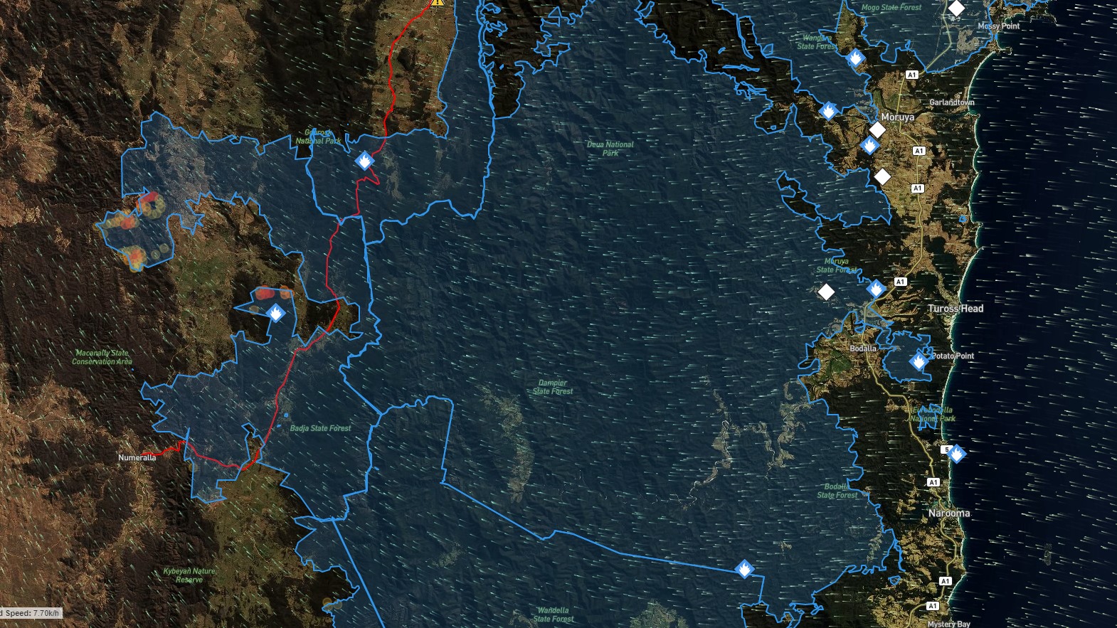
Our fire map integrates data from a variety of sources and provides a national view of fire events, fire hotspots, road closures, weather, and other critical bushfire information.
Our bushfire map is just the beginning. Our aim is to fuse data to better inform people about natural hazards – whether it be fire, flood or storm.