FireFlight
FireFlight
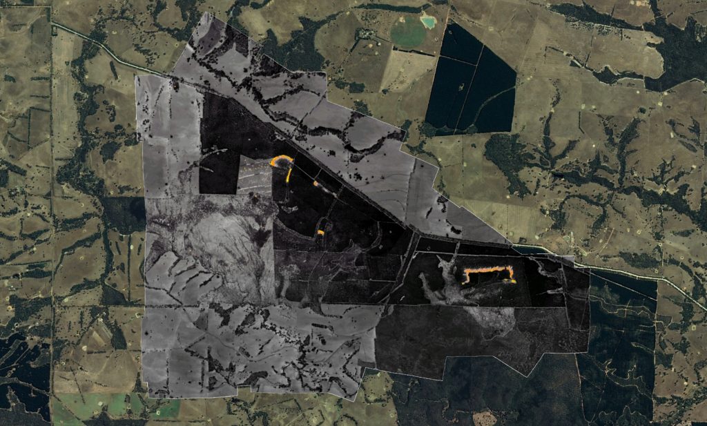
FireFlight is a new airborne fire mapping software, created by Spatial Scientific in Australia. The system provides real time fire information (active fire data) as maps, and post fire hotspot maps to fire managers, fire agencies and other relevant stakeholders. The FireFlight system is cheap to deploy and easy to use. It has been operated in the US, Australia and Indonesia during the past two years. FireFlight systems are shipped from Australia and operated by local pilots in fire danger regions worldwide.
The FireFlight system uses thermal sensors connected to a GPS and computer, and mounted in light aircraft. The flight management software which ties the system together provides pilot navigation, camera control, thermal imagery, data communication and real time image interpretation. Software on our ground-based servers receives the fire maps from the aircraft, combines them with other useful geographic information, and makes the result available on a secure website.
The traditional approach to fire mapping is to have a small number of high value assets: large aircraft with imaging systems worth hundreds of thousands of dollars. Our philosophy is different: we believe multiple low cost fire mapping systems, geographically spread over a wide area, can be more effective than a few expensive fire mapping systems with limited geographical coverage. And by having many more systems available, the impact of system or aircraft failures is greatly reduced.